
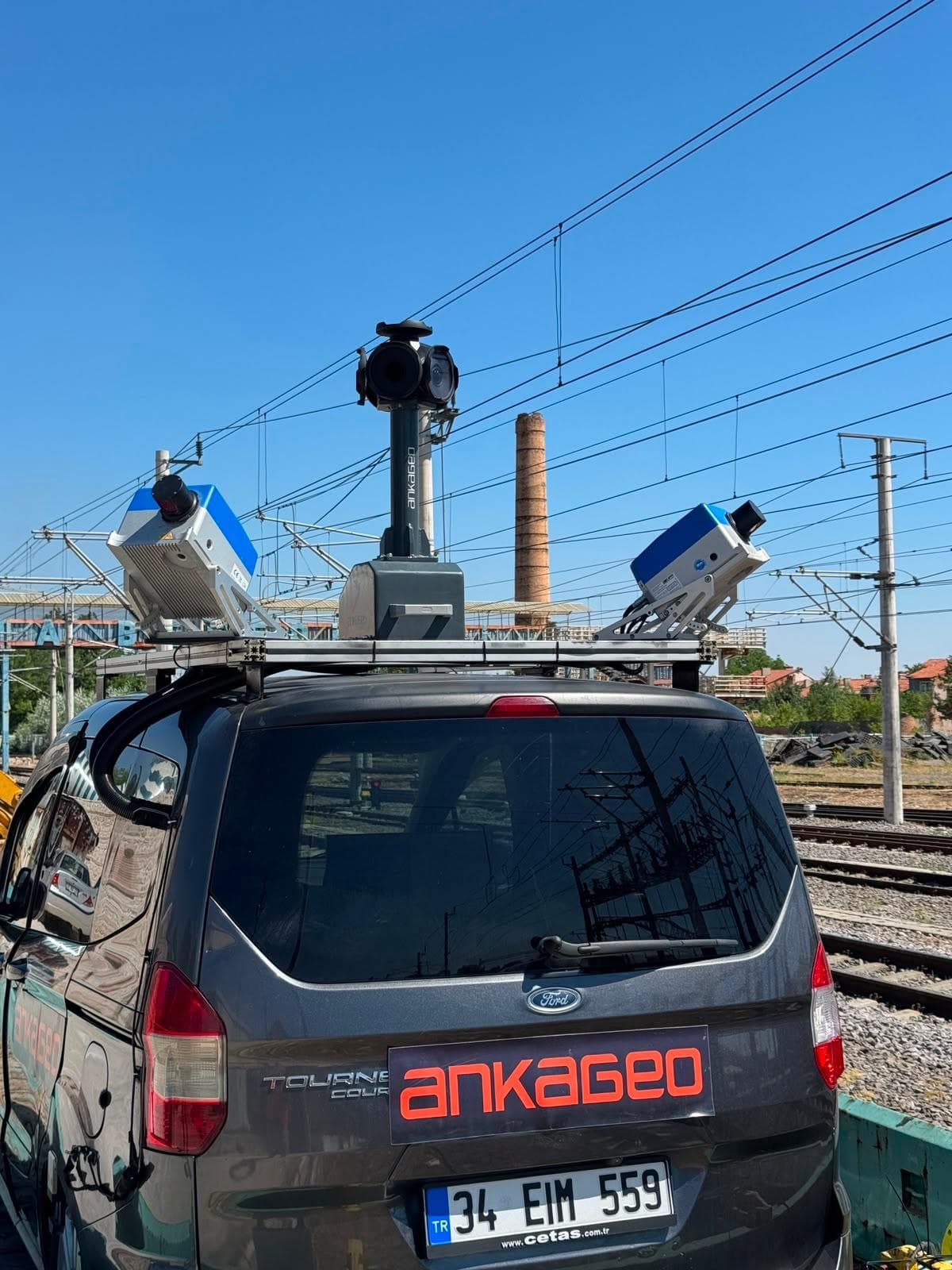
Mobile Mapping
Mobile Mapping is the process of collecting spatial data from mobile vehicles such as cars, drones, boats, trains or airplanes.


Resources on GIS and spatial technologies
Mobile Mapping is the process of collecting spatial data from mobile vehicles such as cars, drones, boats, trains or airplanes.
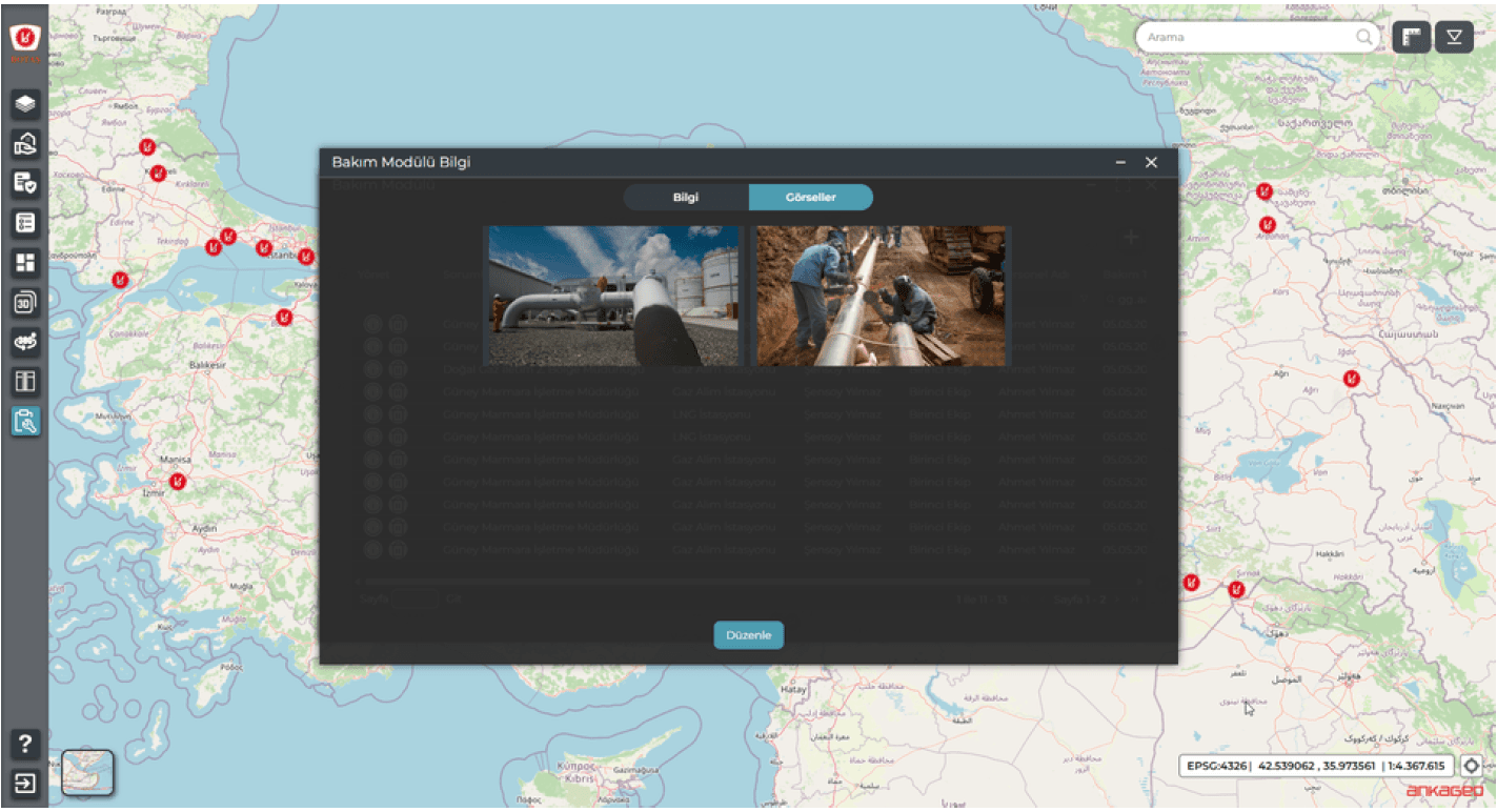
A map-based oil and natural gas asset management system is a web-based software used to manage oil and natural gas infrastructure on a single digital map. The system stores and manages both location (spatial) and information (attribute) data of pipelines, LNG facilities, RMS, FSRU, PIG stations, storage areas, parcels, buildings, and other related assets.
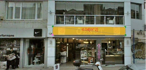
Municipalities need various income-generating activities for the regular management of cities and the sustainability of public services.
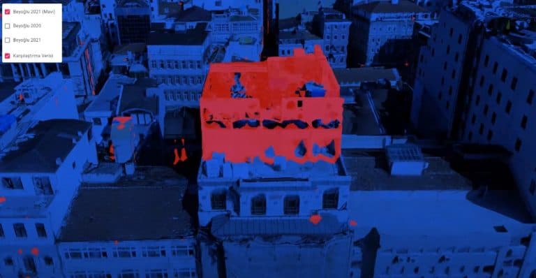
Municipalities need various income-generating activities for the regular management of cities and the sustainability of public services. These studies include arrangements made to strengthen the budgets of local governments and to make urban services more effective.
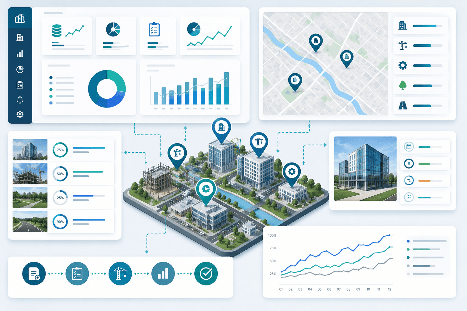
The Investment Tracking System is a comprehensive software solution that enables the effective monitoring of projects carried out by public institutions and the private sector, the management of budgets, and the detailed analysis of processes.
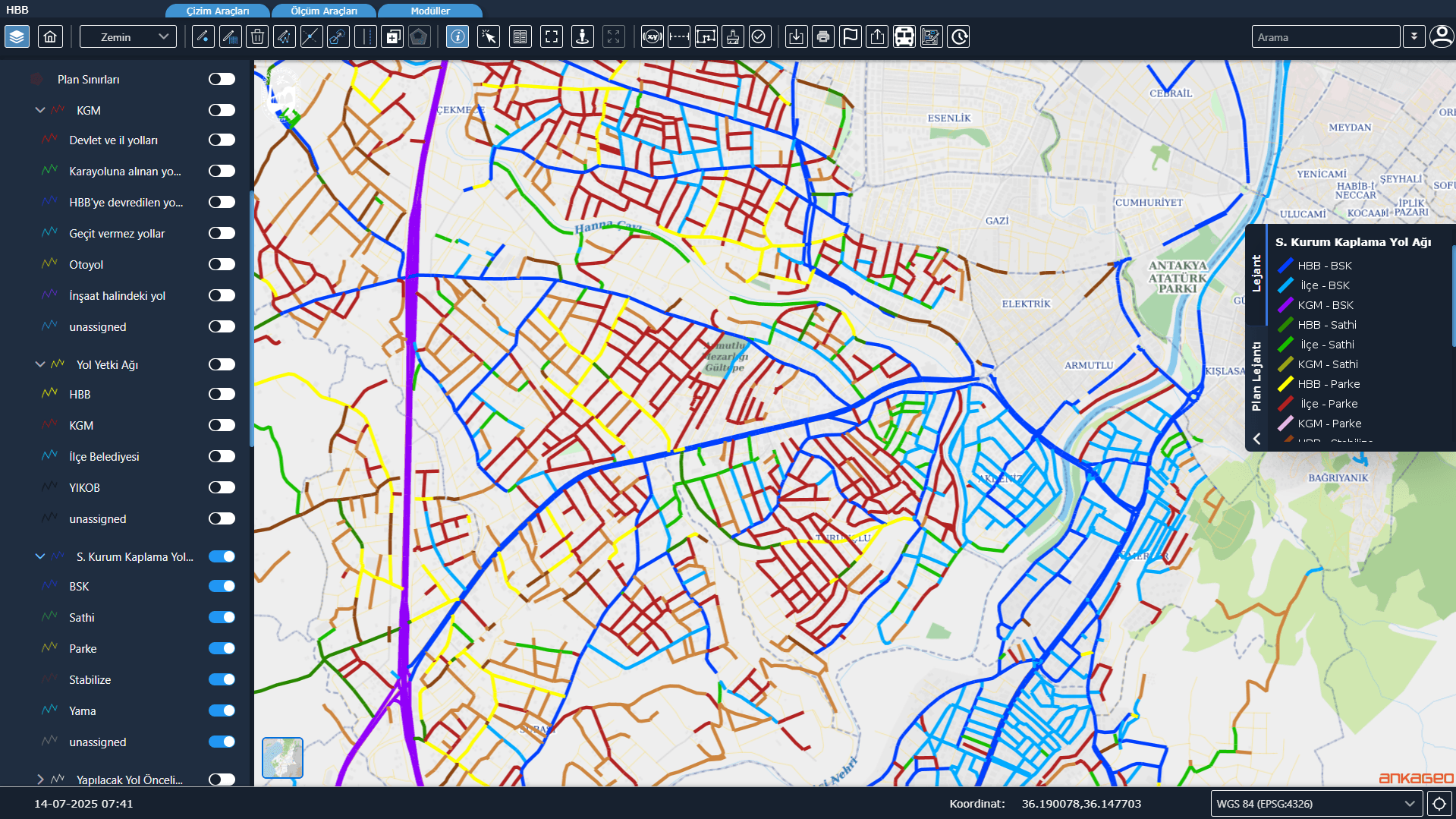
The district’s transportation network is updated, and detailed reports are generated regarding road lengths, road types, surfaces, and seasonal changes. This provides decision support for strategic transportation planning.
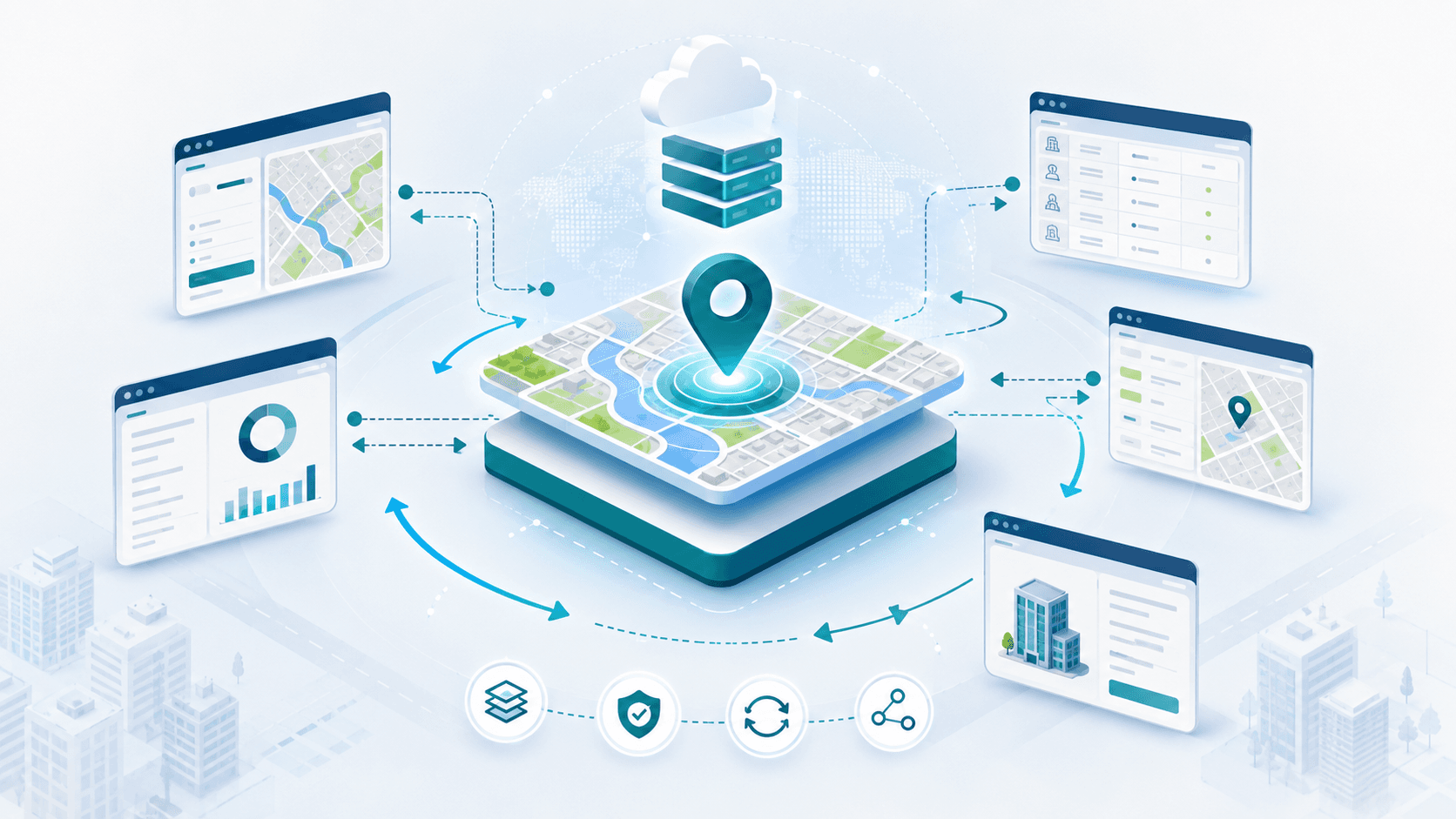
The Map Service Module enables the municipality’s map application to be used as a service within other corporate software and facilitates bidirectional integration with these applications.
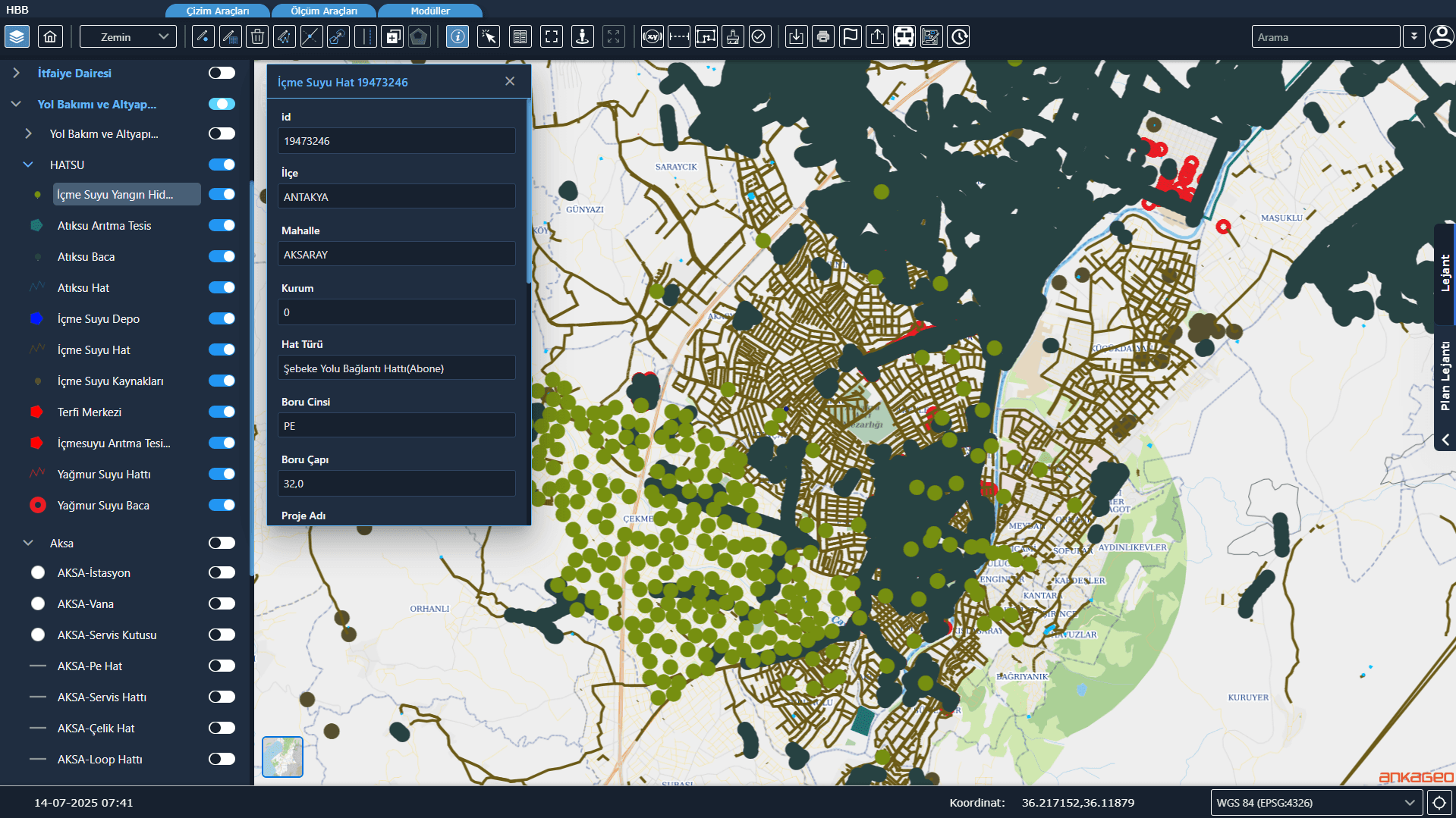
It enables the geographical visualization and management of infrastructure lines such as water, sewage, electricity, fiber optic, and natural gas. It accelerates intervention, planning, and project processes.
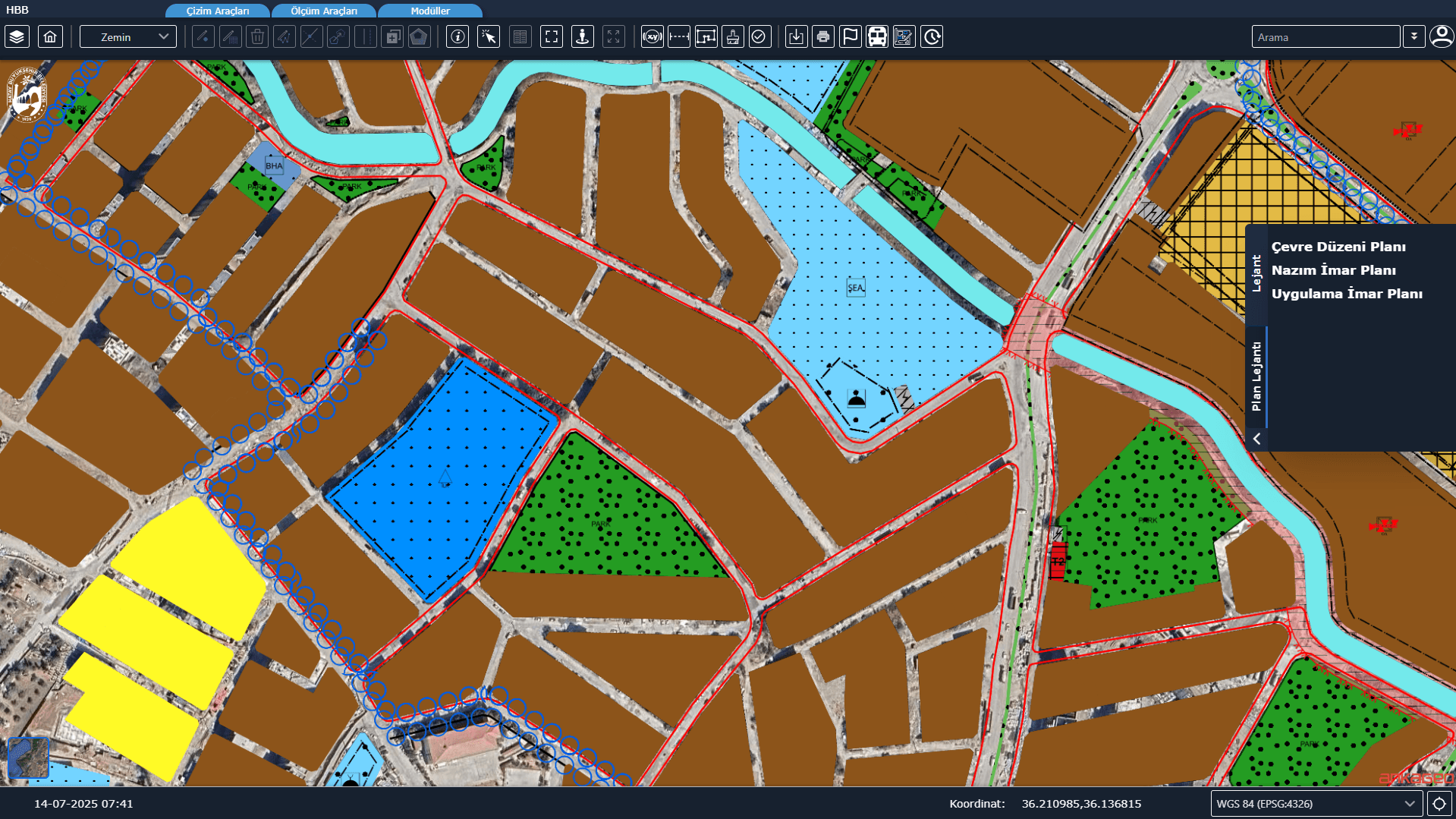
Implementation Zoning Plans and Master Zoning Plans are displayed on map screens via services shared by the Ministry of Environment and Urbanization.
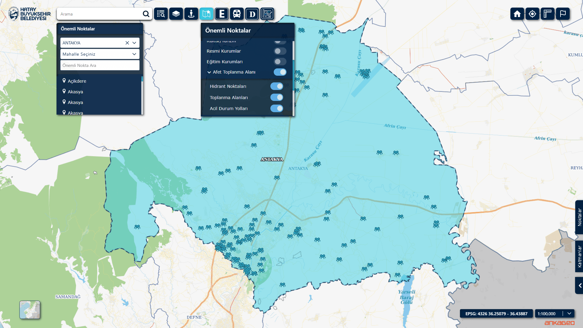
The Disaster Module is a decision support system that enables the monitoring and management of critical data in map-based formats during disasters such as earthquakes, floods, and fires, and coordinates response processes.
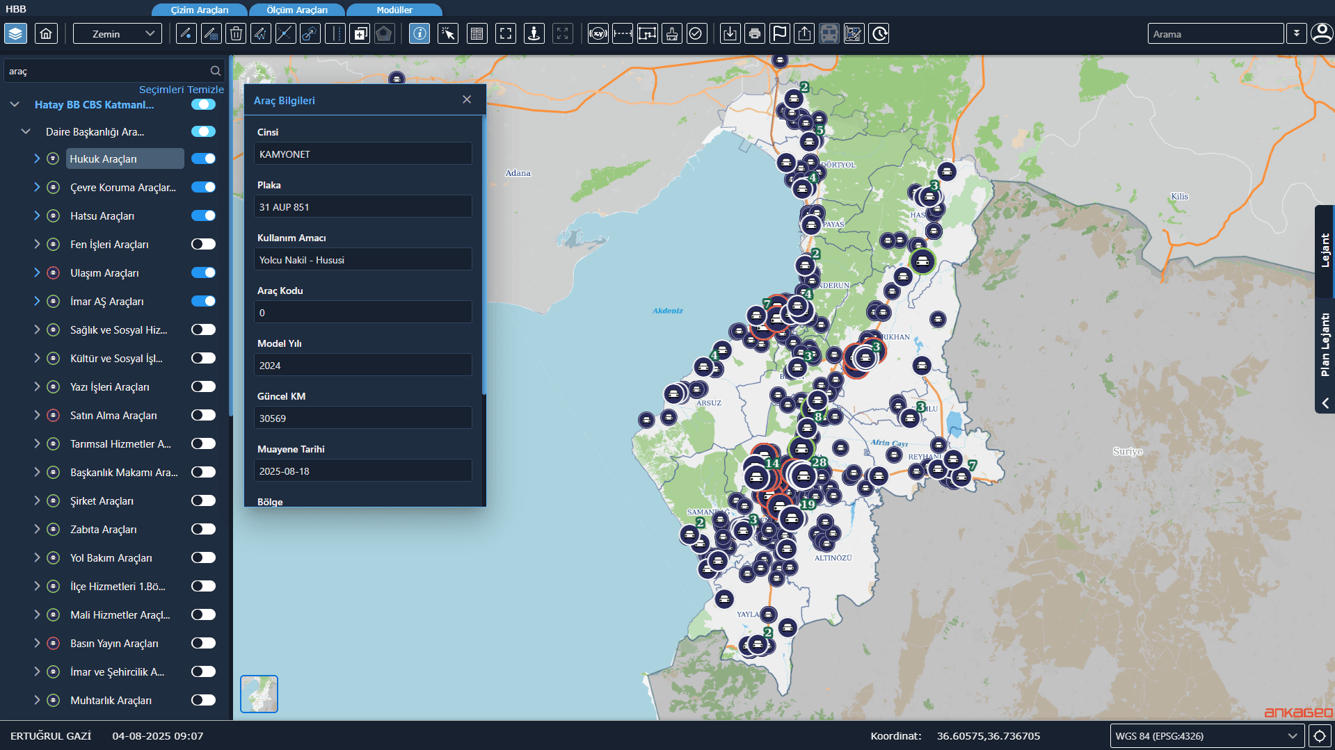
ehicle Tracking System (ATS) Integration is a project that enables the integration of location and vehicle information data from municipal service vehicles with a centralized map infrastructure.
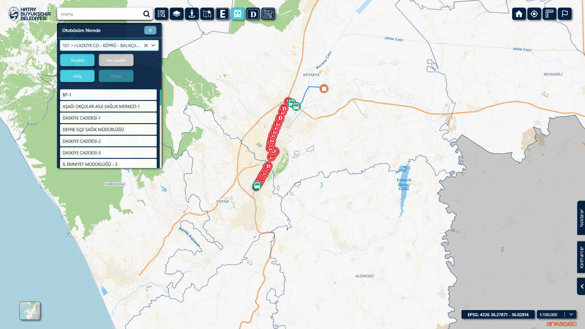
Public Transportation Information System Integration is an integration project that enables the unification of data from the municipality’s existing public transportation software and location services onto a central GIS/map infrastructure.