
Mapping
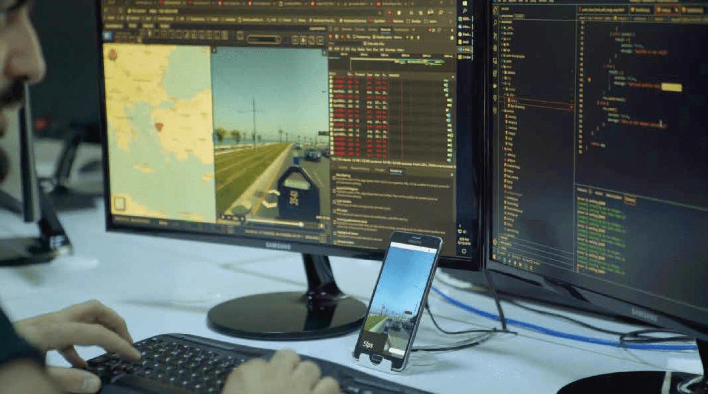
Mobile Mapping Software
Software platform that processes sensor data collected from mobile vehicles to create 360° panoramic maps, inventory data, and up-to-date urban information systems.


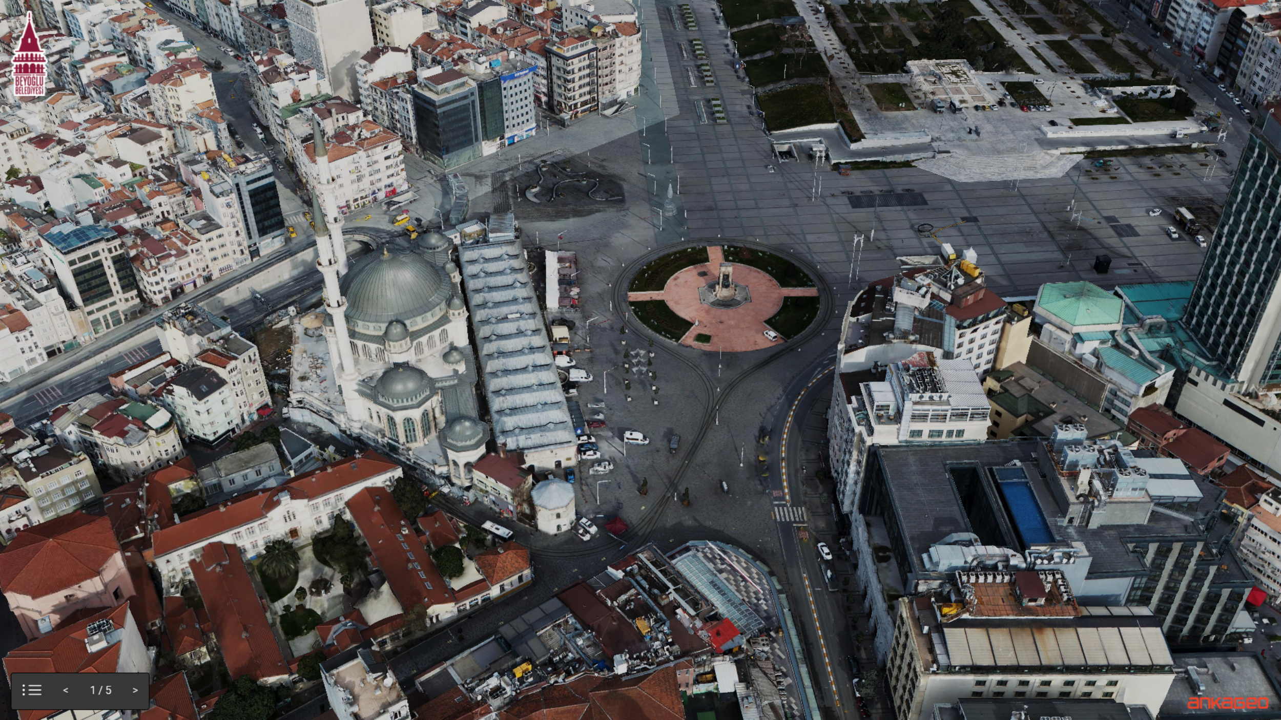
Photogrammetry solution that produces fast and highly accurate 3D city models from oblique angle images captured by cameras mounted on aerial vehicles.
Oblique View is an oblique angle shot of the earth using aerial vehicles (aircraft, helicopters, UAVs). With the Oblique Photogrammetry method, fast and highly accurate 3D city models are obtained by mounting single or multiple cameras on the aircraft.
With Oblique Photogrammetry;
Detailed viewing of city objects,
Measuring distance, height and slope on the land,
Viewing places that are far or difficult to access,
Removal of details that are not visible in the orthophoto,
3D creation of data is provided by integrating with GIS.
It has many advantages and uses such as;
Creating a 3D city guide,
City and infrastructure planning,
Cadastral studies,
Management of security operations,
Making tax assessments,
Illegal structure detection
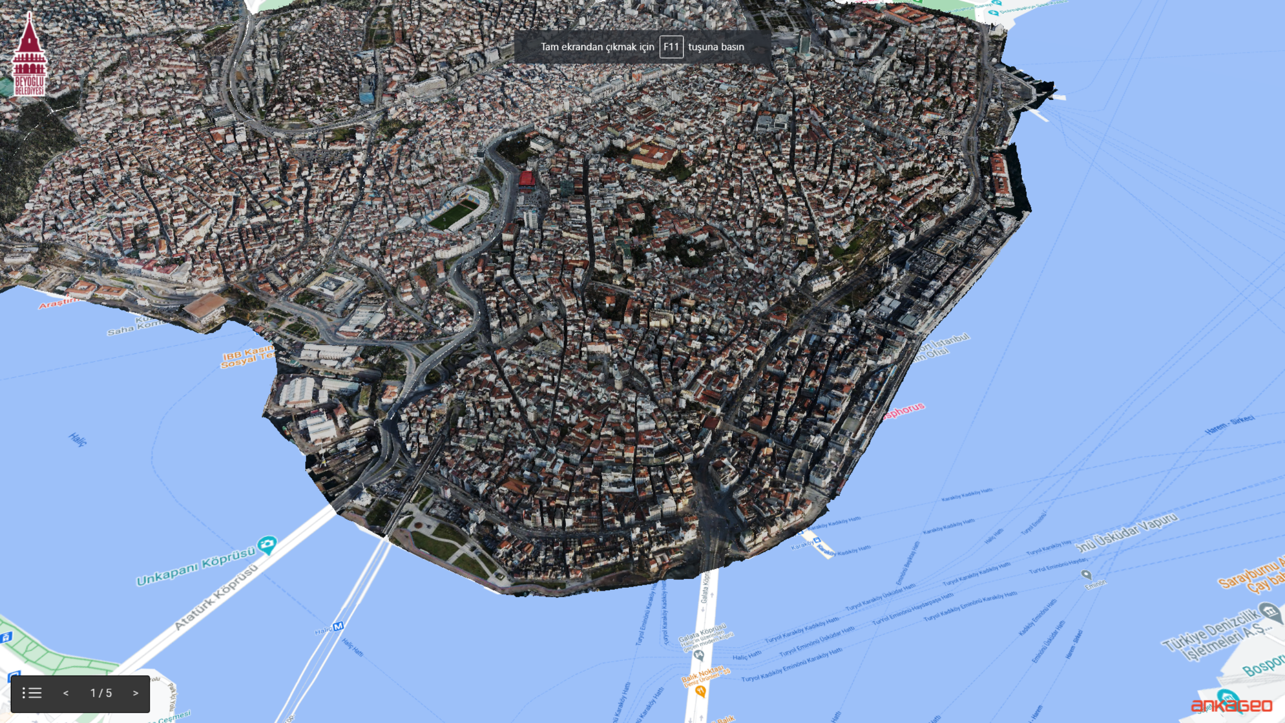
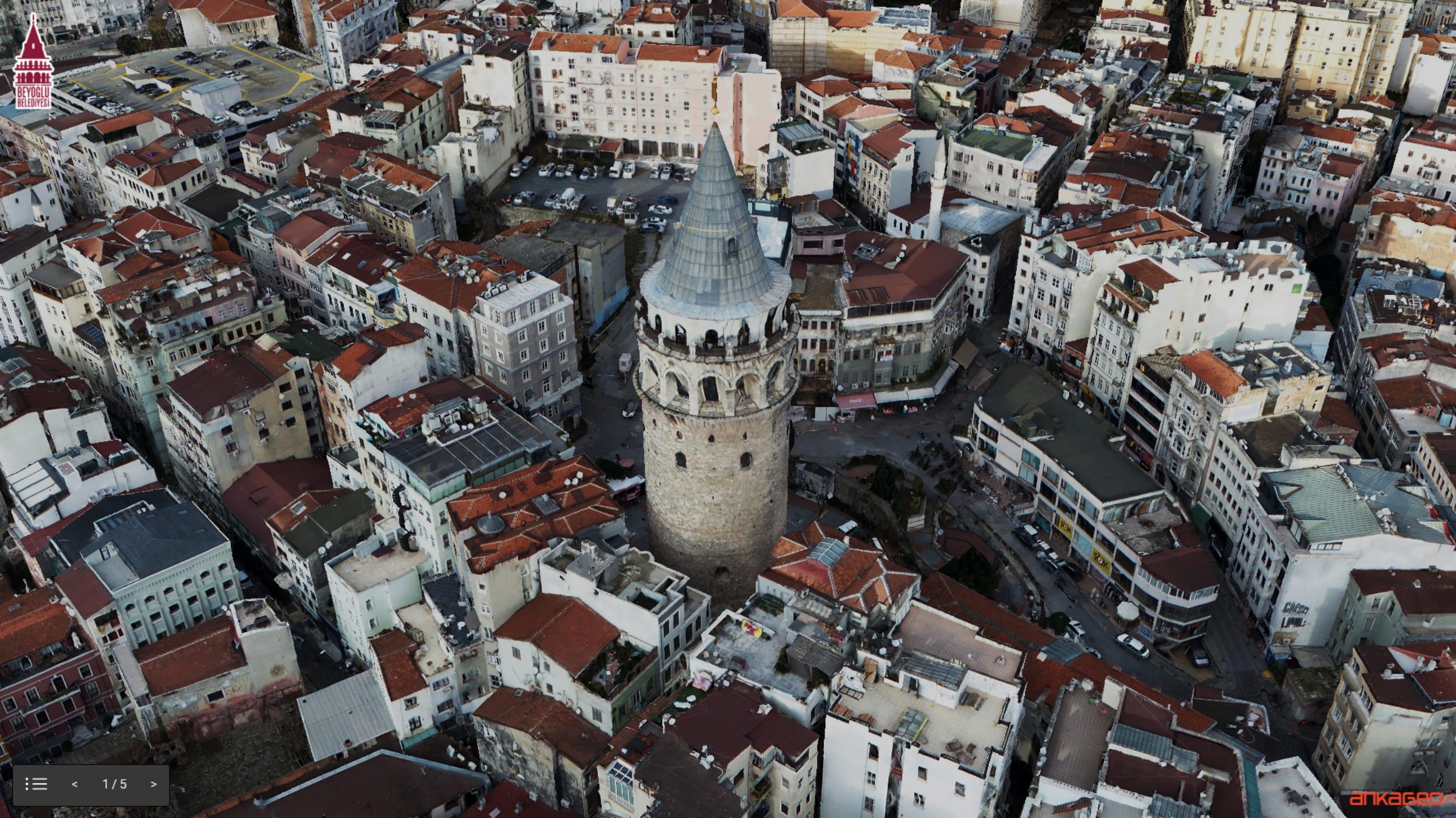
The images obtained by aerial photogrammetry can be blurred and geometrically flawed in places where buildings are dense and where there are complex, high-rise structures. Thanks to the oblique map production, blurring and geometric distortions are largely eliminated in 3D models.
Software platform that processes sensor data collected from mobile vehicles to create 360° panoramic maps, inventory data, and up-to-date urban information systems.

Asset Management System is a comprehensive system developed to address the complex asset management issues faced by modern businesses. This system allows organizations to effectively monitor, analyze and manage their assets on a location-based basis.

It is a system created in order to record the data of public investment projects developed throughout the country through a single system, to monitor investment projects instantly and on a provincial / district basis, to view and analyze provincial budgets.
Oblique imagery is an angled aerial view of the earth captured using aerial vehicles such as aircraft, helicopters or UAVs. 3D city models are obtained by mounting single or multiple cameras on the aircraft.
Detailed viewing of city objects; measuring distance, height and slope on the terrain; viewing places that are difficult to access; extracting details not visible in the orthophoto; and producing 3D data integrated with GIS.
Creating 3D city guides, urban and infrastructure planning, cadastral studies, management of security operations, tax assessments and illegal structure detection are the main areas of use.
In classical aerial photogrammetry, textures can be blurred and geometrically flawed in dense, high-rise areas; oblique map production largely eliminates these blurring and geometric distortions in 3D models.