It is a system that includes all processes from generating, collecting, analyzing, visualizing and presenting geographic data for spatial inquiry and analysis by using location data on the world.
It is a system that includes all processes from generating, collecting, analyzing, visualizing and presenting geographic data for spatial inquiry and analysis by using location data on the world.
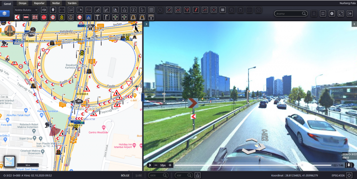
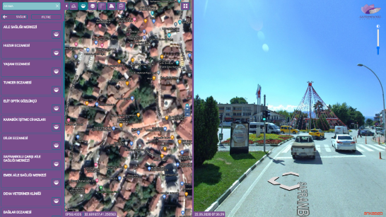
Geographical Information System is a very broad concept and is an information system that appeals to many areas of use. It has a wide range of uses:
Cartography
Telecom and Network Services
Electricity Distribution Network Management
Natural Gas Distribution Network Management
Water and Sewerage Distribution Network Management
Traffic Management
City Planning and Management
Transportation Planning
Environmental Impact Analysis
Agricultural and Forest Practices
Disaster Management and Prevention
Natural Resources Management
Banking and Insurance Sector
Accident and Problem Area Analysis
Land Measurement and Evaluation
Earth Sciences
Vehicle Tracking Systems
Asset Management and Maintenance
Urban Planning
municipality
Health
Education
Mine
Industry
Economy
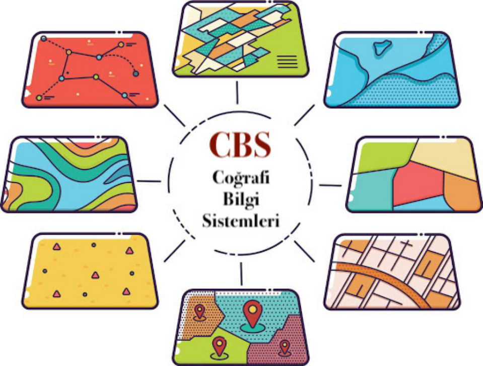
The first GIS study in history was carried out in 1832 to map the Cholera pandemic, but the concept of GIS was first used in the 1960s. GIS studies have been used more and more widely after 2000 until today. Today, with the development of technology, GIS studies are carried out in digital environments intertwined with technology.
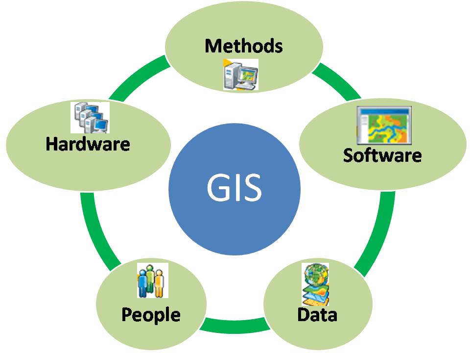
Geographical Information Systems have 5 main components: People, software, data, methods, hardware.
Speeds up the flow of information.
Increases work efficiency.
Provides effective and accurate analysis.
Provides ease of data updating.
Prevents labor and time loss.
Enables us to produce a future perspective.
Enables location-based management mechanism.
Location-based reports can be generated.
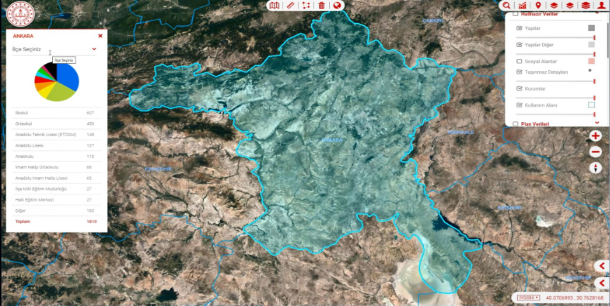
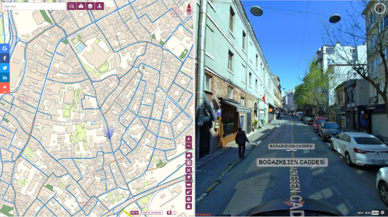
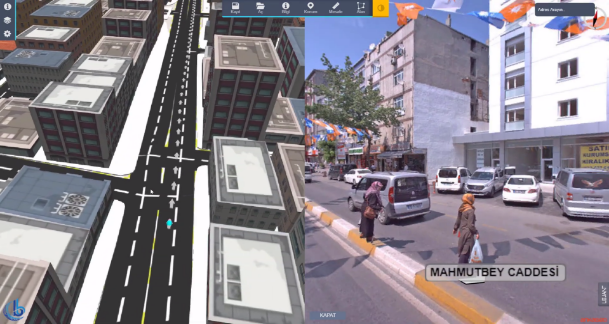
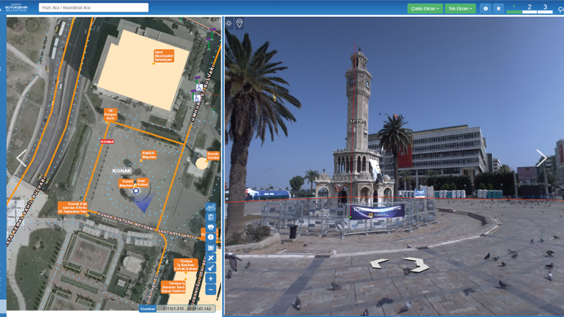
Geographic Information Systems have 5 main components: people, software, data, methods, and hardware.
The first GIS study in history was carried out in 1832 to map the Cholera pandemic, while the concept of GIS was first used in the 1960s.