The TKGM Integration is an integration infrastructure that enables the retrieval of up-to-date, accurate, and standardized land registry and cadastre data from the systems of the General Directorate of Land Registry and Cadastre and its transfer to the municipal information system.
TKGM Integration is an integration infrastructure that enables the transfer of land registry and cadastre data from the General Directorate of Land Registry and Cadastre systems to the municipal information system in an up-to-date, accurate, and standardized manner.
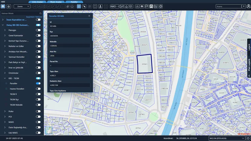
It is an integration infrastructure that transfers land registry and cadastre data from the General Directorate of Land Registry and Cadastre systems to the municipal information system in an up-to-date, accurate and standardized manner.
Cadastre data from TKGM such as parcels, land registry records and areas is transferred to the municipal information system and kept up to date.
It enables fast decision-making based on accurate, up-to-date data in zoning and planning processes, improving data consistency and process efficiency.