


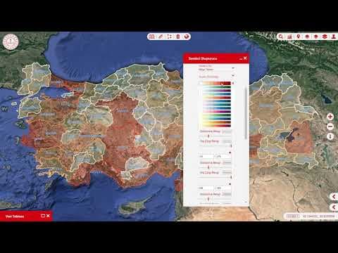
Ministry of Education GIS
Field measurement consultancy for 66,000 school campuses across 81 provinces. Includes detail inquiry, analysis of zoning plans and MEB parcels, inventory production, and GIS management of all schools.
Europe's largest project in its field
Development of Mobile Mapping System
Data collection from the field with MHS
Geocoordination of data
Web/Mobile, Mobile Mapping Software
Road Inventory production
Map Based Mobile Maintenance and repair software

Field measurement consultancy for 66,000 school campuses across 81 provinces. Includes detail inquiry, analysis of zoning plans and MEB parcels, inventory production, and GIS management of all schools.

Comprehensive smart city platform with 3D address/parcel inquiry, panoramic views, AI-based change analysis, digital twin applications, IoT sensor management, and disaster management tools.

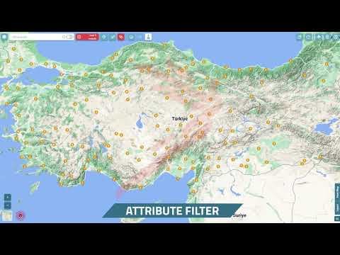
A platform that receives big data from multiple sources and sends it to multiple destinations (ETL), visualizes it on maps, provides statistical reports based on retrospective data, and enables region-based simulations.