
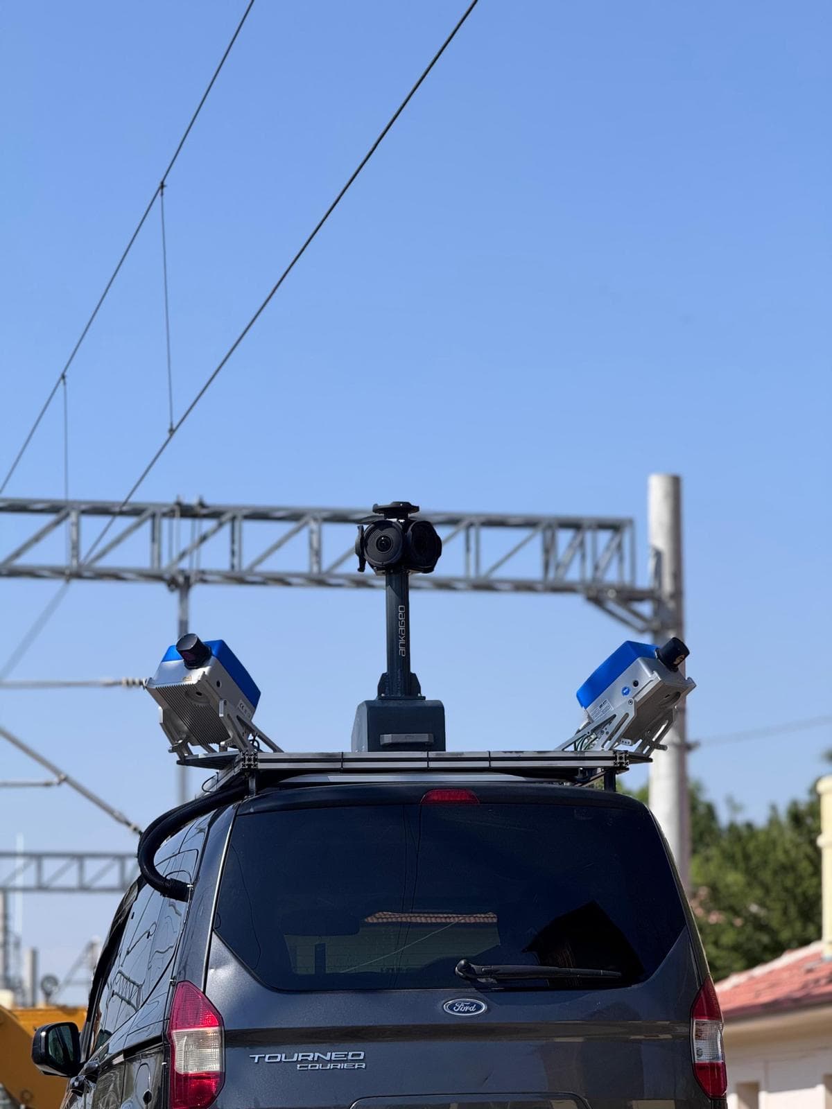
Mapping
Mobile Mapping System
Mobile Mapping is the process of collecting spatial data from mobile vehicles such as cars, drones, boats, trains or airplanes.


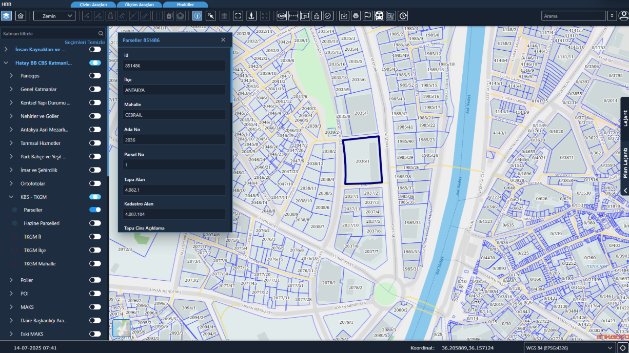
TKGM Integration is an integration infrastructure that enables the transfer of land registry and cadastre data from the General Directorate of Land Registry and Cadastre systems to the municipal information system in an up-to-date, accurate, and standardized manner.
TKGM Integration is an integration infrastructure that enables the transfer of land registry and cadastre data from the General Directorate of Land Registry and Cadastre systems to the municipal information system in an up-to-date, accurate, and standardized manner.
Mobile Mapping is the process of collecting spatial data from mobile vehicles such as cars, drones, boats, trains or airplanes.

Software platform that processes sensor data collected from mobile vehicles to create 360° panoramic maps, inventory data, and up-to-date urban information systems.

Asset Management System is a comprehensive system developed to address the complex asset management issues faced by modern businesses. This system allows organizations to effectively monitor, analyze and manage their assets on a location-based basis.
An integration layer that automatically transfers parcel and ownership data from the General Directorate of Land Registry and Cadastre into an institution's information system in a standard format.
Data is retrieved directly from TKGM services, so the municipal system always works with current parcel information.
Municipalities and public institutions operating urban information systems.