

Mapping
Mobile Mapping Software
Software platform that processes sensor data collected from mobile vehicles to create 360° panoramic maps, inventory data, and up-to-date urban information systems.


MAKS Integration is an integration structure that ensures the management of address data in the municipality is fully compatible and up-to-date with the National Address Database.
MAKS Integration is an integration structure that ensures the management of address data in the municipality is fully compatible and up-to-date with the National Address Database.
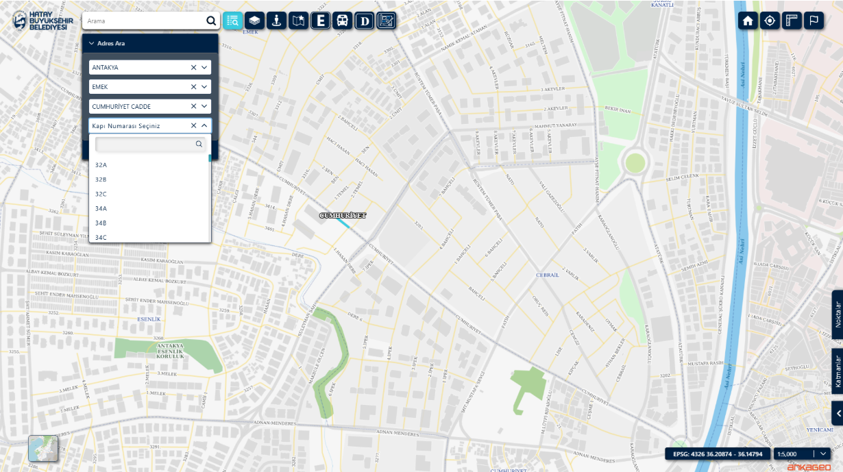
Thanks to this integration, which is fully compatible with the National Address Database (MAKS), address data in the municipality is managed in an up-to-date, standardized, and perfectly matched manner with the central system. Address errors are reduced, processes are automated, and internal data accuracy is increased.
Software platform that processes sensor data collected from mobile vehicles to create 360° panoramic maps, inventory data, and up-to-date urban information systems.

Asset Management System is a comprehensive system developed to address the complex asset management issues faced by modern businesses. This system allows organizations to effectively monitor, analyze and manage their assets on a location-based basis.

It is a system created in order to record the data of public investment projects developed throughout the country through a single system, to monitor investment projects instantly and on a provincial / district basis, to view and analyze provincial budgets.
MAKS Integration is an integration structure that ensures the management of municipal address data fully compatible and up-to-date with the National Address Database (MAKS); address data is kept standardized and matched with the central system.
Address errors are reduced, address processes are automated and internal data accuracy increases; address data is managed up-to-date and precisely matched with the central system.
Address search, verification and display are performed on the map; province, district, neighborhood, avenue, street and door number information is managed on a single screen.
It is suitable for numbering and zoning units, GIS and IT departments, municipal police and field teams, and municipalities aiming for digital transformation.