
Mapping
Mobile Mapping Software
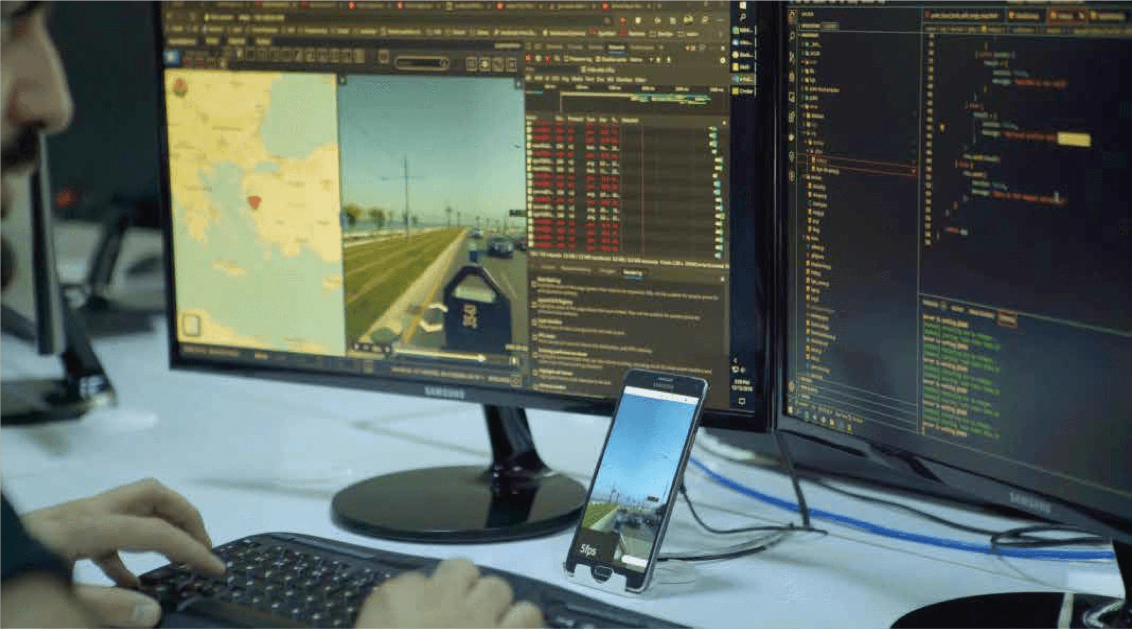
Software platform that processes sensor data collected from mobile vehicles to create 360° panoramic maps, inventory data, and up-to-date urban information systems.


Smart intersection control system that provides quick and accurate data collection from the field in traffic analysis and improvement, using live image processing technology.
Intersection Control System is a smart solution that provides quick and accurate data collection from the field in traffic analysis and improvement processes, using live image processing technology.
Quickly receiving correct data from the field in traffic analysis
Fast, cost-effective and accessible solution
Live image processing technology
Counting, classification, density and speed detection
Increasing intersection efficiency
Support for traffic improvement decisions
Software platform that processes sensor data collected from mobile vehicles to create 360° panoramic maps, inventory data, and up-to-date urban information systems.

Asset Management System is a comprehensive system developed to address the complex asset management issues faced by modern businesses. This system allows organizations to effectively monitor, analyze and manage their assets on a location-based basis.

It is a system created in order to record the data of public investment projects developed throughout the country through a single system, to monitor investment projects instantly and on a provincial / district basis, to view and analyze provincial budgets.
It processes live intersection video to produce vehicle counts, classifications, density and speed data used in traffic analysis and improvement decisions.
Vehicle counts, vehicle classes, traffic density and speed, all in real time.
Municipalities, transportation departments and any institution responsible for traffic management.