It enables the geographical visualization and management of infrastructure lines such as water, sewage, electricity, fiber optic, and natural gas. It accelerates intervention, planning, and project processes.
It enables the geographical visualization and management of infrastructure lines such as water, sewage, electricity, fiber optic, and natural gas. It accelerates intervention, planning, and project processes.
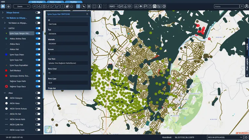
It is a system that enables the geographical visualization and management of infrastructure lines such as water, sewage, electricity, fiber optic and natural gas.
All of an organization's infrastructure networks — primarily water, sewage, electricity, fiber optic and natural gas lines — can be managed on the map.
It accelerates fault intervention, infrastructure planning and project processes with up-to-date, location-based data.