City Guide is an information system that enables the management of spatial data in the city in a digital environment, allowing quick access to addresses, numbers, landmarks, and urban planning information.
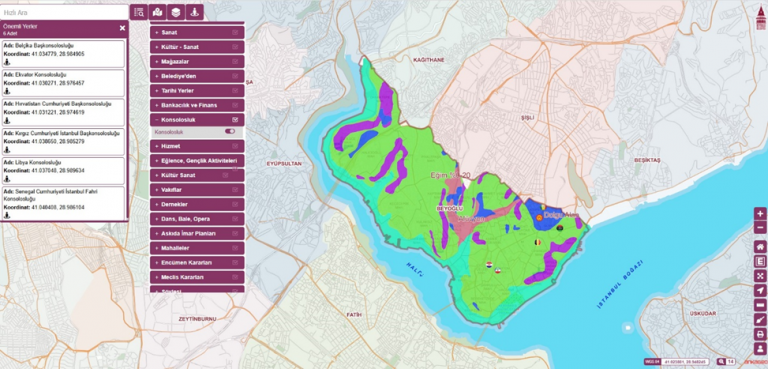
City Guide is an information system that enables the management of spatial data in the city in a digital environment. This system makes it possible for citizens and public institutions to quickly and easily access information such as addresses, numbers, landmarks, zoning status and urban planning.
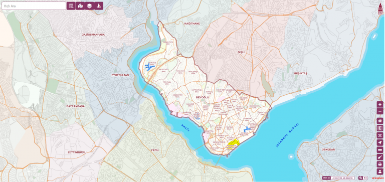
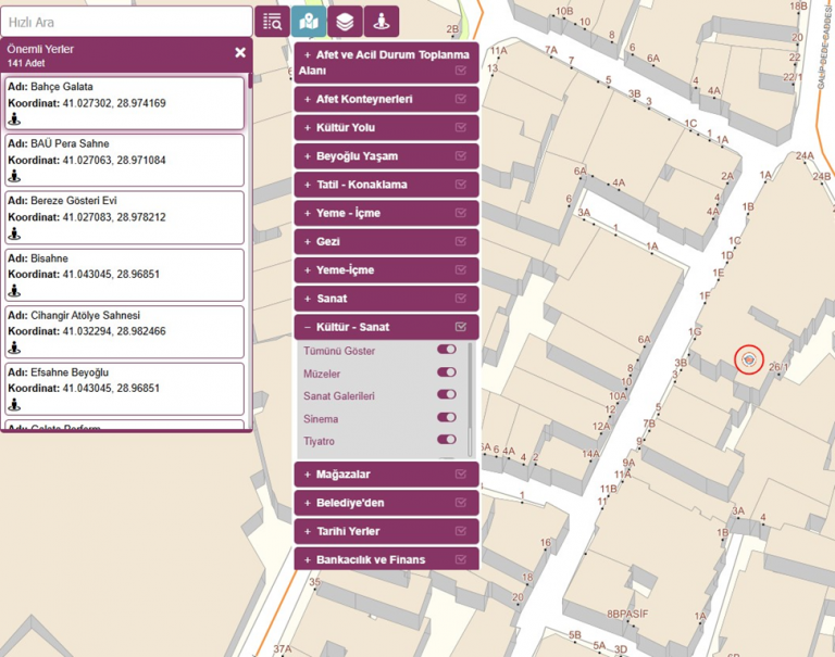
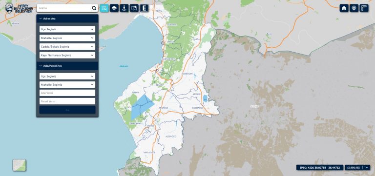
City guides are accessible via web and mobile platforms and facilitate urban search and analysis processes thanks to their user-friendly interfaces. Users can access detailed location information by selecting a specific region, and they can quickly access the data they are looking for by filtering on the map.
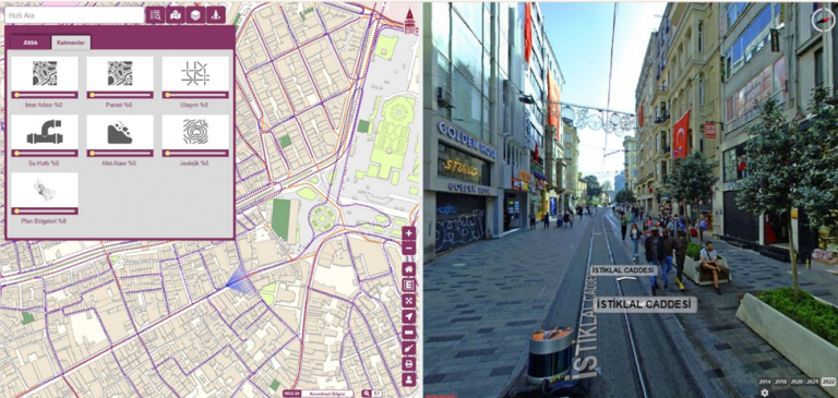
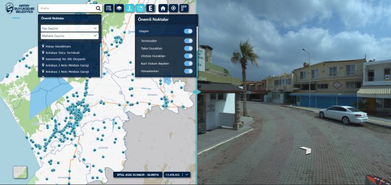
In addition, city exploration can be done with 360° panoramic images and spatial analysis can be performed in more detail. Such systems increase the efficiency of public services by digitizing city management and accelerate data-supported decision-making processes in urban planning.
Features of the City Guide
Inner-city location detection with address and numbering information
Ability to make detailed searches based on district, street and avenue
Displaying important points such as hospitals, schools, places of worship, public buildings on the map
Street-level city exploration with 360° panoramic views
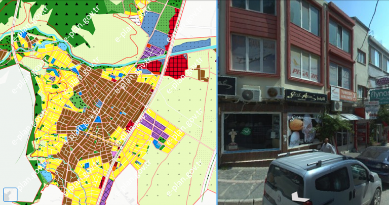
Zoning plan and zoning status inquiry
Filtering on the map and making detailed analysis based on location
Providing access via web and mobile applications
Uses and Benefits of the City Guide
For Public Institutions: Municipalities, city planning units and other public institutions can make more accurate decisions in zoning and infrastructure projects.
For Citizens: They can quickly find important points in the city and have easy access to address information.
Emergency Management: In times of disaster and crisis, rapid access to information in the city can speed up the response processes.
Urban Planning: It enables future projects to be planned more efficiently with location-based analysis.
The City Guide ensures that urban data is collected in a central system and made easily accessible. While citizens and institutions save time thanks to this system, city management becomes more planned and efficient. Digitalized city management contributes to the understanding of modern urbanism by providing a fast, accurate and effective service.
It is an information system that manages urban spatial data digitally, providing fast access to addresses, numbering, landmarks, zoning status and urban planning information.
Location detection with address and numbering; searches by district, street and avenue; displaying landmarks on the map; 360° panoramic street exploration; zoning plan and status inquiry; filtering and analysis on the map.
It is accessible via web and mobile applications; its user-friendly interface simplifies urban search and analysis processes.
Citizens gain fast access to information; municipalities and city planning units gain data-supported decision-making in zoning and infrastructure projects.