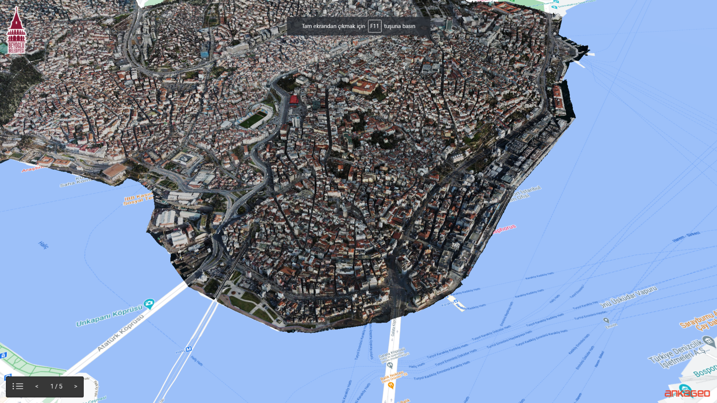
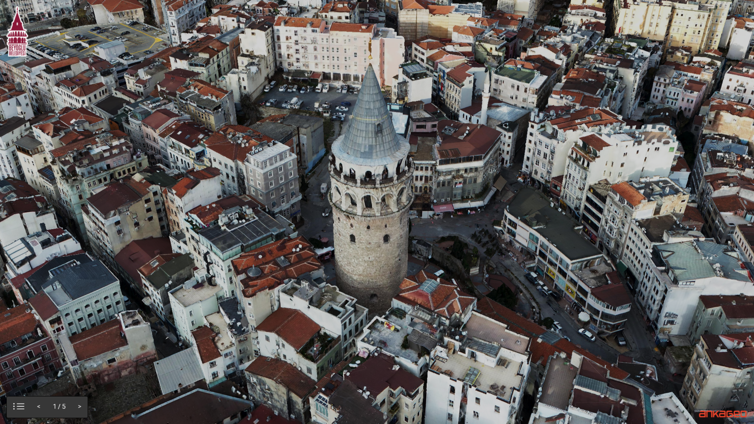
Oblique View is an oblique angle shot of the earth using aerial vehicles (aircraft, helicopters, UAVs). With the Oblique Photogrammetry method, fast and highly accurate 3D city models are obtained by mounting single or multiple cameras on the aircraft.
With Oblique Photogrammetry;
Detailed viewing of city objects,
Measuring distance, height and slope on the land,
Viewing places that are far or difficult to access,
Removal of details that are not visible in the orthophoto,
3D creation of data is provided by integrating with GIS.
It has many advantages and uses such as;
Creating a 3D city guide,
City and infrastructure planning,
Cadastral studies,
Management of security operations,
Making tax assessments,
Illegal structure detection
The images obtained by aerial photogrammetry can be blurred and geometrically flawed in places where buildings are dense and where there are complex, high-rise structures. Thanks to the oblique map production, blurring and geometric distortions are largely eliminated in 3D models.